Central Visayas · Visayas
Mt. Lanaya
700 m above sea level · Cebu · 9.704°N, 123.353°E · effort 2/9
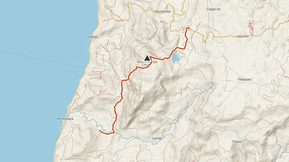
Southern Cebu's forested ridge above Alegria, usually traversed from Legaspi to the summit clearing and down to hot springs by the coast. A local favorite pairing with Kawasan canyoneering weekends.
Access and permits
Entry requirements have not been established for this mountain. Confirm current access, permits, guides and fees with the local tourism or protected-area office for your exact itinerary before travel. Missing information does not mean permission to enter.
Trails
| Trail | Jump-off | Effort | Technical | Distance | Time |
|---|---|---|---|---|---|
| Lanaya Trails (Legaspi) | Brgy. Legaspi, Alegria, Cebu | 2/9 | B | 6 km traverse | Day hike (3-4 h up) |
Effort (1-9) is computed from distance, ascent and terrain; technical (A-E) follows the trail class, from a clear path (A) to real climbing (E). Elevations, grades and trail data are indicative - always verify with the LGU / DENR before a climb. Routes come from OpenStreetMap and can be partial or outdated; a mapped line does not prove a safe or open path.
Take Mt. Lanaya offline
Bundok ng Pinas keeps a personal climb log, records your track with the screen off, saves this mountain's topographic map for use without signal and shows the same access notes on the trail. No account needed.
Ask about availability
Tell us your device and country for the latest access options.
Email about accessNearby mountains
- Osmeña Peak 1,013 m · 16 km away
- Mt. Talinis (Cuernos de Negros) 1,903 m · 55 km away
- Kanlaon Volcano 2,465 m · 82 km away