Northern Mindanao · Mindanao
Mt. Maagnaw
2,742 m above sea level · Bukidnon · 8.122°N, 124.879°E · effort 6/9
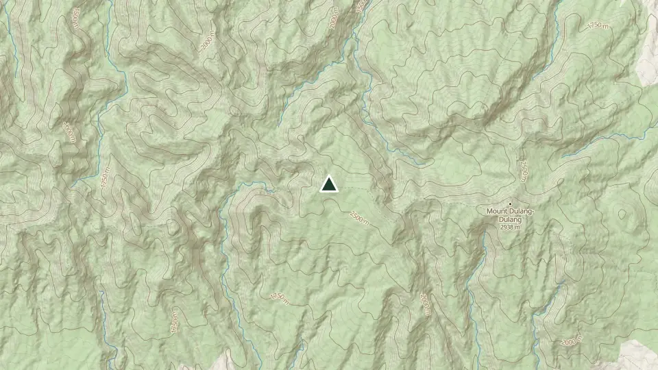
A quieter giant of the Kitanglad range, often linked with Dulang-Dulang in ridge traverses. Mossy forest and ridgelines rise to nearly 2,800 m. Arrange local Indigenous guides and confirm access for your intended route.
Access and permits
Before you go
The ASEAN biodiversity portal identifies Maagnaw among the peaks of Mount Kitanglad Range Natural Park. The park includes a protected area and buffer zone; the exact Kaatuan trail and its applicable boundaries remain unverified.
Arrange with: Mount Kitanglad Range Natural Park protected-area office and Lantapan municipal tourism office
Research checked 2026-10-27. Source date: undated. Current access and fees must be confirmed before travel.
ASEAN Clearing House Mechanism - Mt. Kitanglad Range Natural Park
Trails
| Trail | Jump-off | Effort | Technical | Distance | Time |
|---|---|---|---|---|---|
| Kaatuan Trail | Brgy. Kaatuan, Lantapan, Bukidnon | 6/9 | C | ~20 km (estimated, no mapped route) | 2 days |
Effort (1-9) is computed from distance, ascent and terrain; technical (A-E) follows the trail class, from a clear path (A) to real climbing (E). Elevations, grades and trail data are indicative - always verify with the LGU / DENR before a climb. Routes come from OpenStreetMap and can be partial or outdated; a mapped line does not prove a safe or open path.
Take Mt. Maagnaw offline
Bundok ng Pinas keeps a personal climb log, records your track with the screen off, saves this mountain's topographic map for use without signal and shows the same access notes on the trail. No account needed.
Available to download
Check Google Play for your device and country · listing checked 2026-11-09
Nearby mountains
- Mt. Kitanglad 2,899 m · 5 km away
- Mt. Dulang-Dulang 2,938 m · 5 km away
- Mt. Tuminungan 2,670 m · 6 km away