Cagayan Valley · Luzon
Mt. Iraya
1,009 m above sea level · Batanes · 20.467°N, 122.012°E · effort 4/9
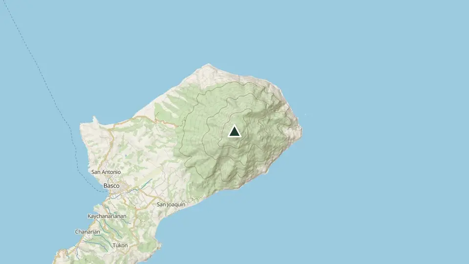
The dormant volcano that watches over Basco and the Ivatan homeland, climbed through dense fern forest to a summit often wrapped in wind and cloud. On rare clear days: the whole of Batan Island and the open Pacific.
Access and permits
Before you go
EO55/2022 requires a DENR-accredited guide for strict-protection-zone visits including Iraya. Pandemic-era order; supersession, current registration and rates unverified. COVID clauses not adopted.
Arrange with: Basco tourism office, Batanes
Research checked 2026-09-08. Source date: 2022. Current access and fees must be confirmed before travel.
Batanes Provincial Government — Executive Order 55 series 2022
Trails
| Trail | Jump-off | Effort | Technical | Distance | Time |
|---|---|---|---|---|---|
| Basco Trail | Brgy. San Antonio, Basco, Batanes | 4/9 | C | ~10.4 km (estimated, no mapped route) | Day hike (3-4 h up) |
Effort (1-9) is computed from distance, ascent and terrain; technical (A-E) follows the trail class, from a clear path (A) to real climbing (E). Elevations, grades and trail data are indicative - always verify with the LGU / DENR before a climb. Routes come from OpenStreetMap and can be partial or outdated; a mapped line does not prove a safe or open path.
Take Mt. Iraya offline
Bundok ng Pinas keeps a personal climb log, records your track with the screen off, saves this mountain's topographic map for use without signal and shows the same access notes on the trail. No account needed.
Ask about availability
Tell us your device and country for the latest access options.
Email about accessNearby mountains
- Mt. Matarem 473 m · 11 km away
- Palaui Island (Cape Engaño) 261 m · 212 km away
- Mt. Cagua 1,133 m · 251 km away